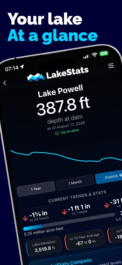
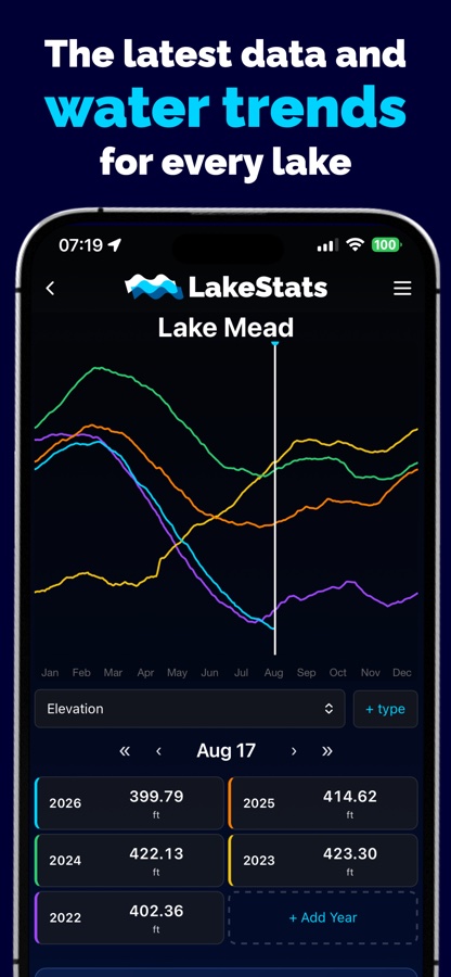
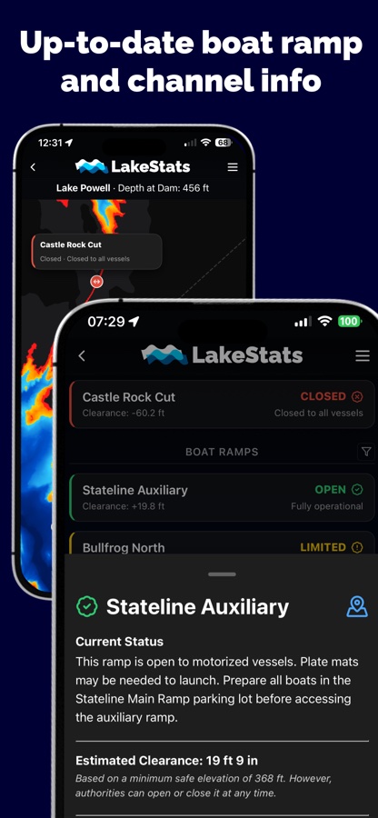
Every reservoir drops and fills, and a chart printed last season does not know that.
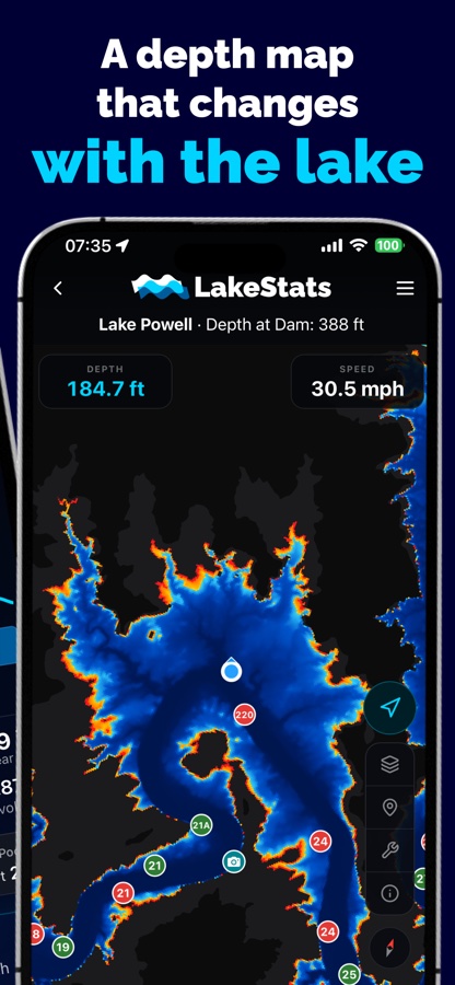
Compass redraws the bottom against the water that is actually there today, so the
shallows you see are the shallows you will hit.
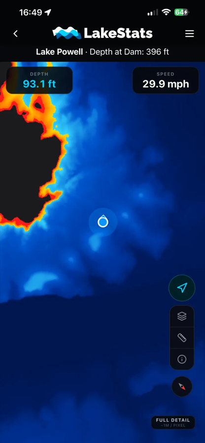
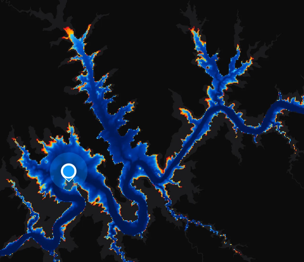
It is deliberately not a 3D flyover. At the wheel you need to know where it is deep,
where it is shallow, and how close the difference is. Blue is deep, red is where the
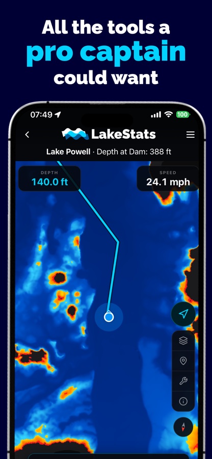
water runs out, and the boundary moves as the level does. Tap anywhere for the depth
there, follow your own position with heading, and read live depth and speed off the
top of the screen.
The whole map for a lake downloads before you launch, in tiers from lite to full
detail, so it works twenty miles from a cell tower with the phone in airplane mode.