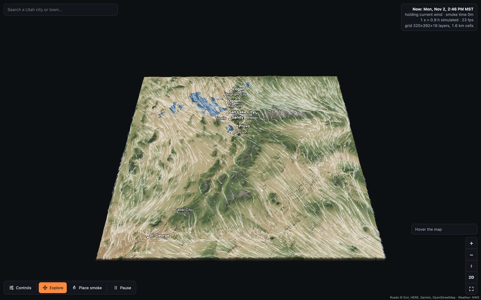
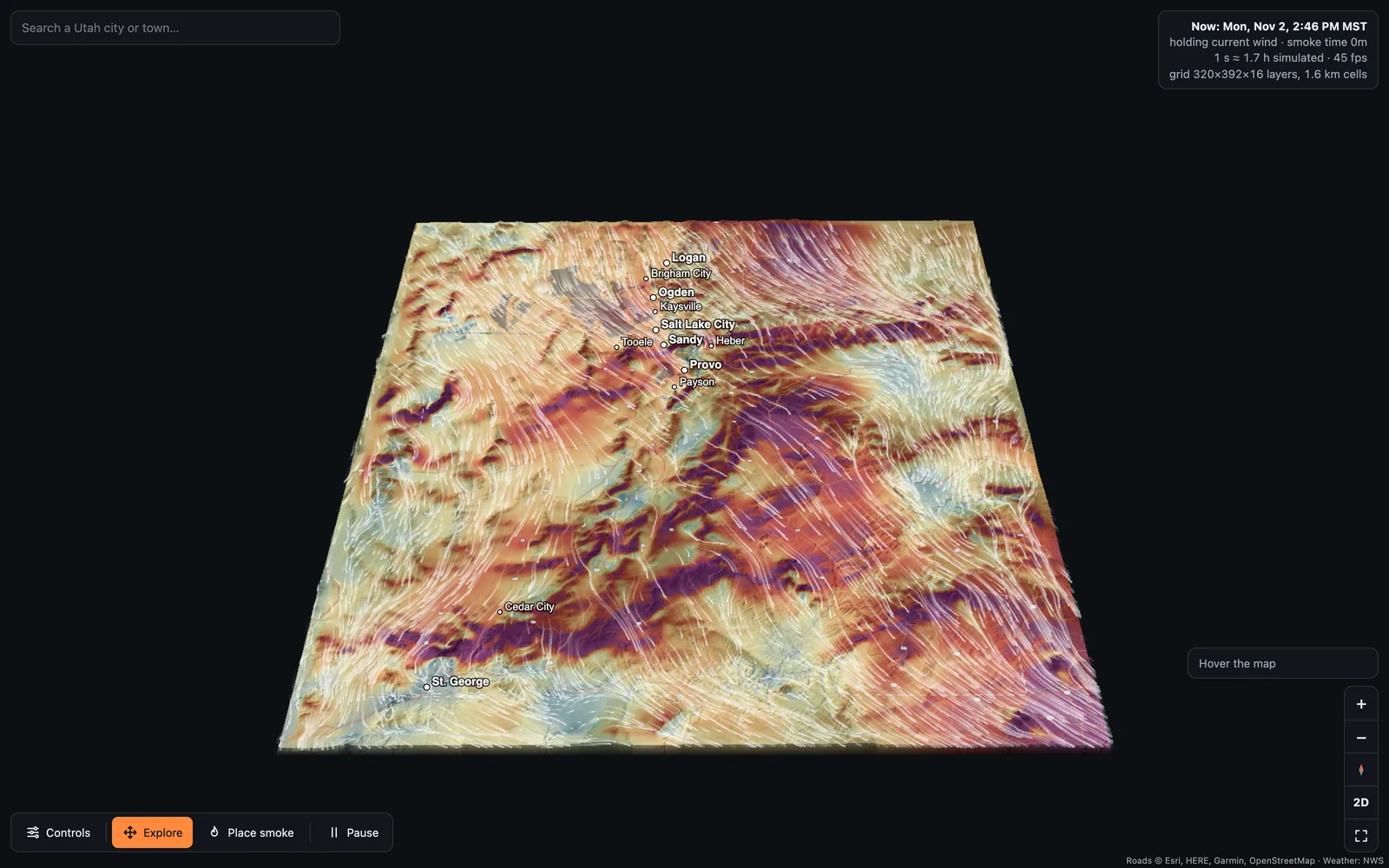
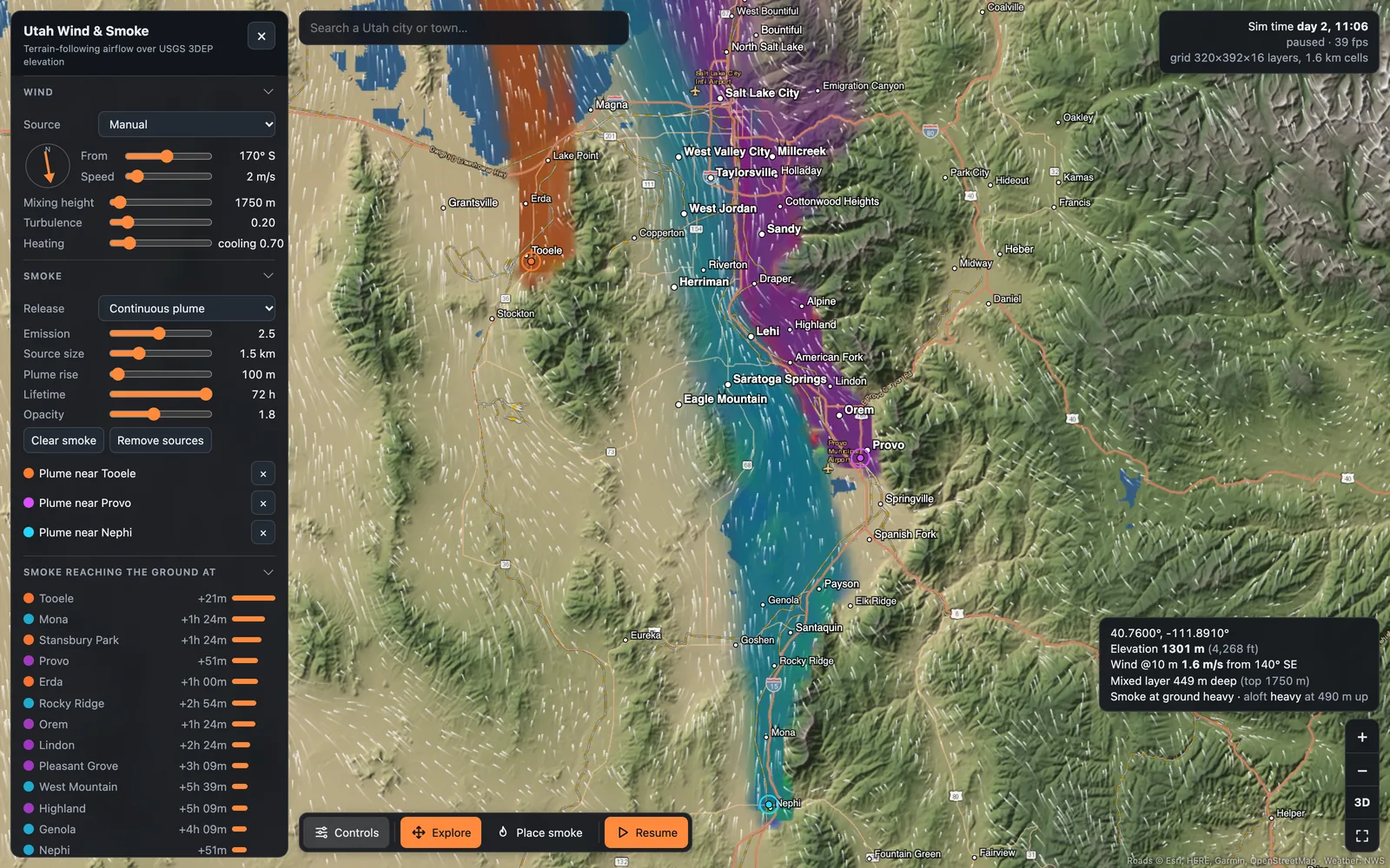
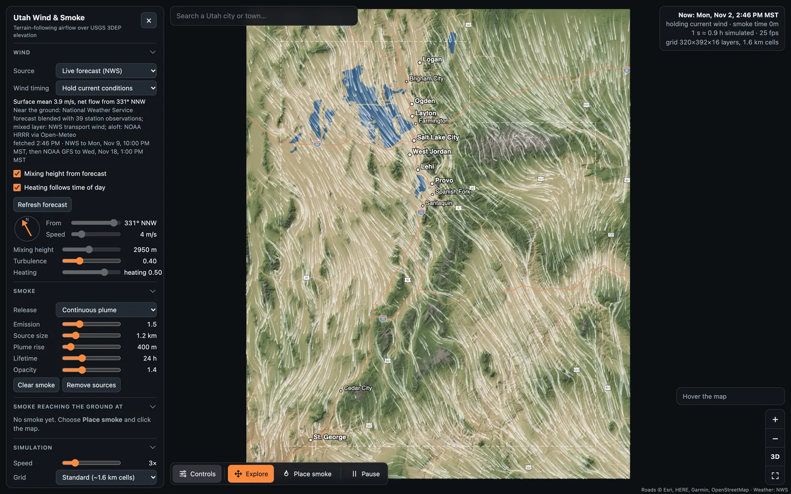
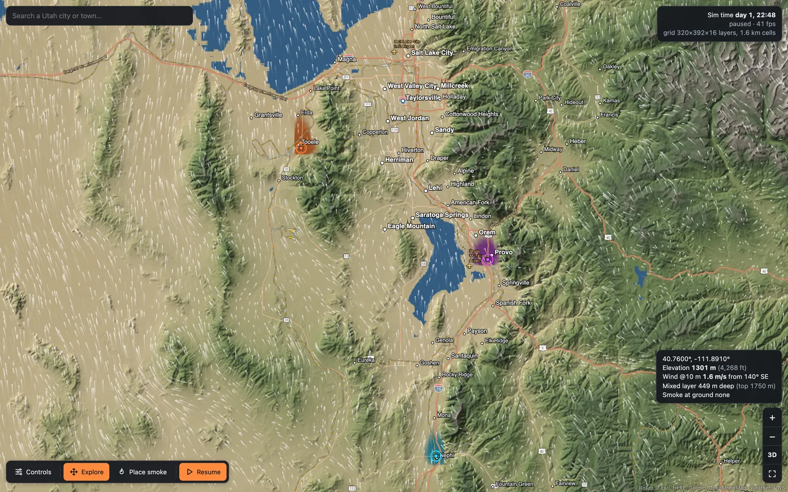
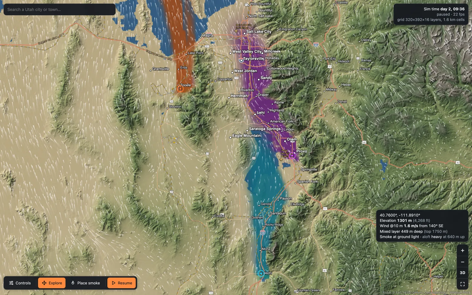
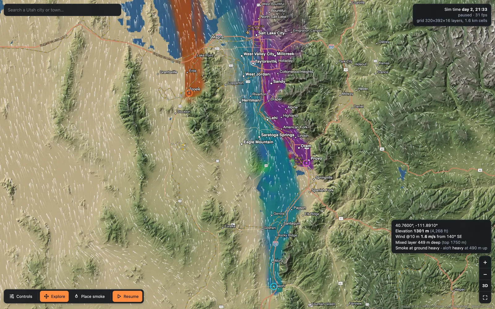
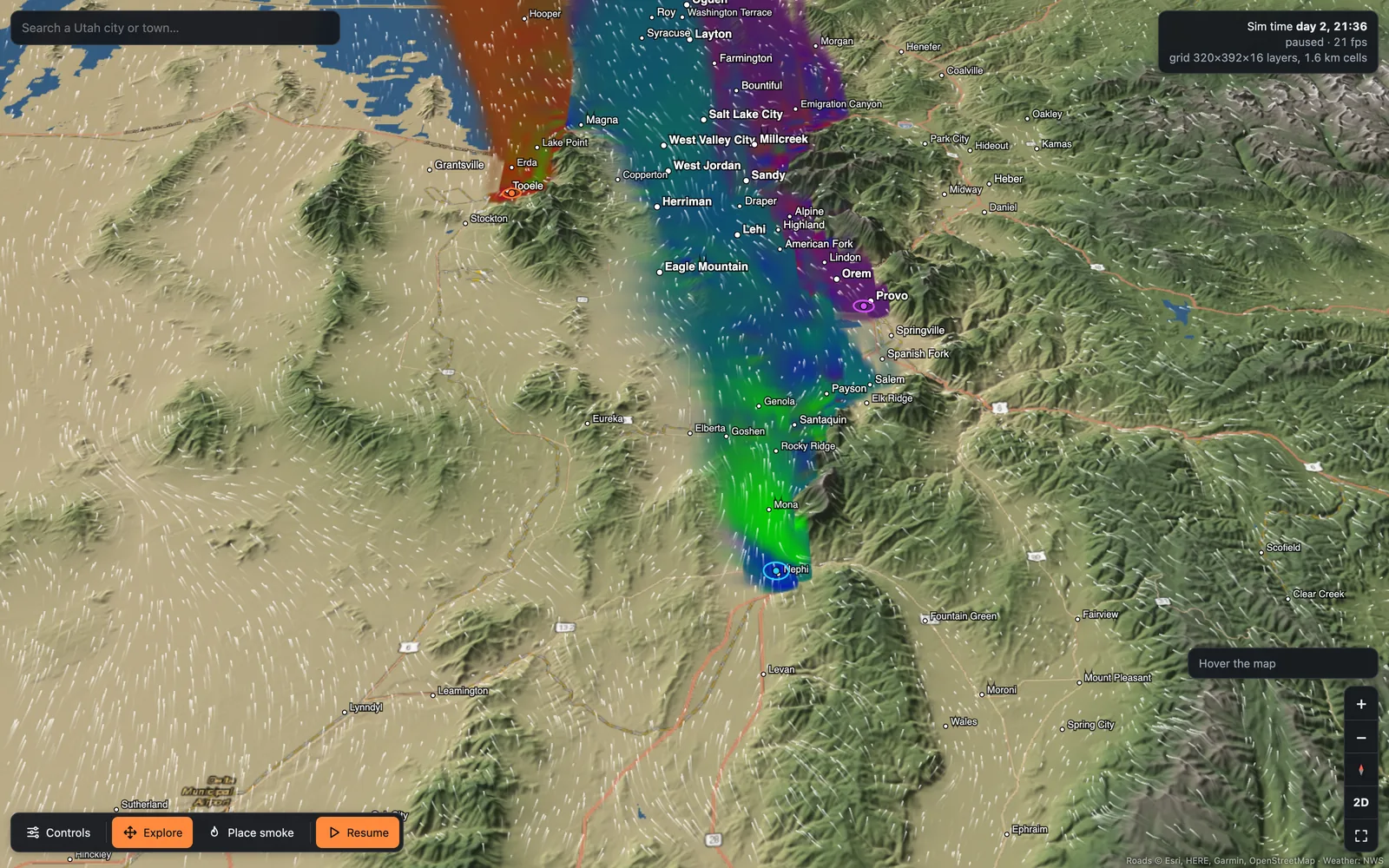
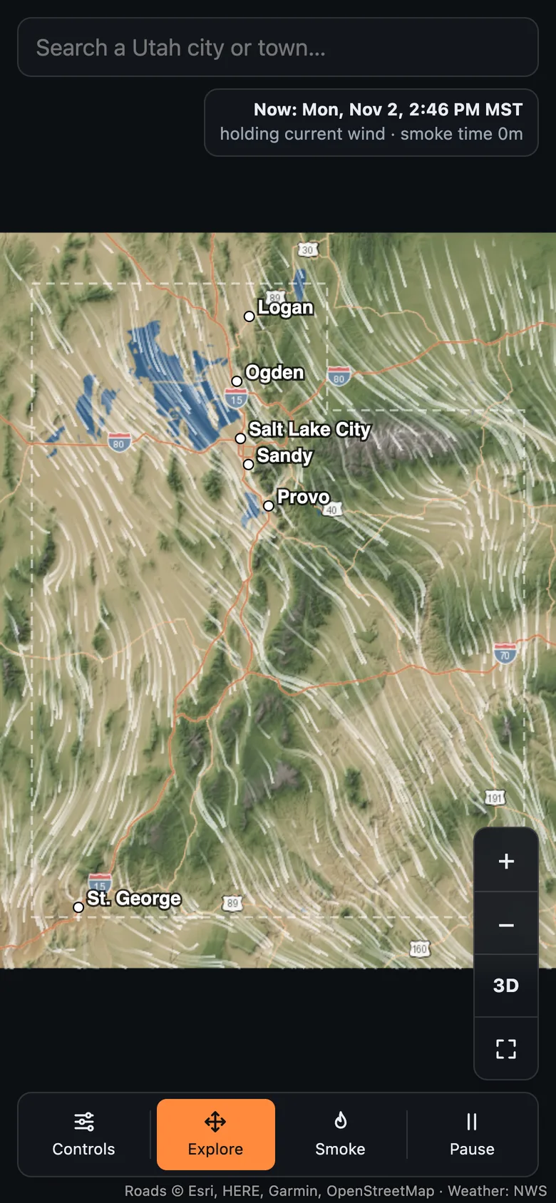
Emissions released anywhere in Utah are steered by ranges, canyons and valley floors.
Smoke from one county can drain into the next. On winter nights a lid of warm air can
sit over the valleys and hold everything beneath it in place for days, far from where
it started.
A wind rose from one weather station cannot show that. We needed the actual terrain,
the actual weather, and the physics that ties them together. The project started with
a local question, where the exhaust from a large data center’s on-site gas plant in
Iron County would end up, and grew into a tool for any source: put smoke anywhere in
the state, choose a forecast day or a past date, and watch which towns it reaches and
how many hours it takes to get there.